Click Here. Double your traffic. Get Vendio Gallery - Now FREE!
Rare Map Collection
This DVD is part of our Historic Map and
Atlas Collection.
We have dozens of Atlas maps on DVD and CD ranging from the 1500s
to the 1900s covering many areas and topics.
Please Check our Ebay Store for what's available. |
FOR MANY MORE EDUCATIONAL CD
TITLES
ON THIS AND MANY OTHER
SUBJECTS
PLEASE VISIT OUR EBAY STORE |
VERY LARGE HIGH RESOLUTION
MAP COLLECTION
ON DVD!!
(please see full table of contents and sample
illustrations below) |
|
This DVD Contains
170 Maps
of
Mississippi
These are scans of the ORIGINAL maps
by various Cartographers.
on DVD
System requirements
PC or Mac compatible.
Files are simple PDF files with a basic HTML
interface (just like viewing a webpage)
Works with ALL versions of Windows.
|
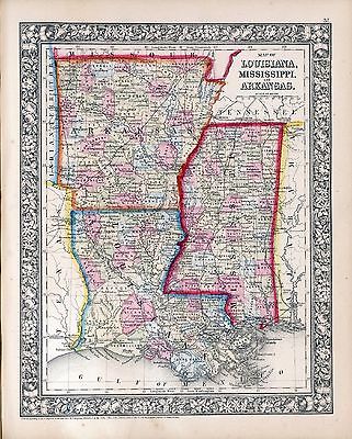
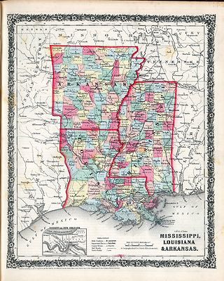
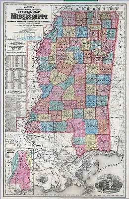
Maps of
Mississippi

0089033
|
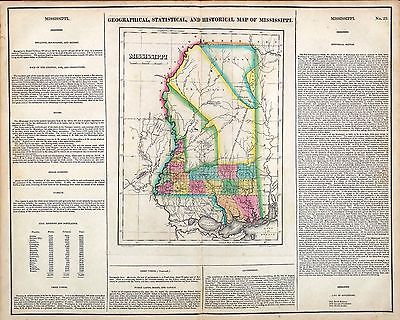
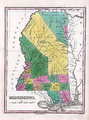
Mississippi.
Bradford, Thomas G.
1838 |

0122024
|
Map Of Mississippi.
Carey, H. C. ; Lea, I.
1822 |

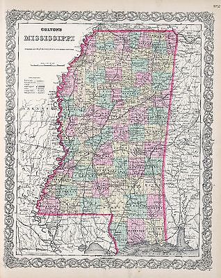
0149038
|
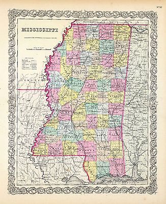
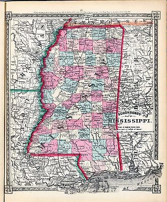
Mississippi.
Colton, G.W.
1856 |

0285028
|
Mississippi.
Finley, Anthony
1831 |

0537024
|
New Map Of Mississippi.
Mitchell, Samuel Augustus
1846 |

0977020
|
New Map Of Mississippi.
Tanner, Henry S.
1836 |

1070012
|
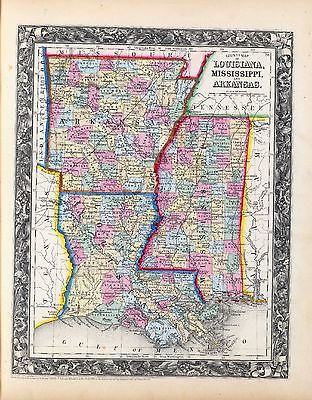
Mississippi.
U.S. General Land Office
1866 |

2301028
|
Mississippi.
Morse, Sidney E. (Sidney Edwards); Breese, Samuel
1845 |

2788011
|
Map of the Seat of War among the Creek Indians.
Melish, John
1815 |

3565097
|
Mississippi.
Rand McNally and Company
1897 |

4453035
|
Mississippi.
Goodrich, S.G. ; Bradford, Thomas G.
1841 |

4520031
|
Mississippi.
Rand McNally and Company
1879 |

4584064
|
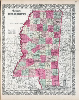
Mississippi.
Lucas, Fielding Jr.
1823 |

4628054
|
Mississippi.
Burr, David H
1835 |

4664022
|
Plan Of Nogales.
The earliest map of the area of Vicksburg . With a key decoding the letters
on the map. Uncolored with scale in fathoms.
Collot, George Henri Victor ; Tardieu, P.F.
1796 |

4664024
|
Town and Fort of Natchez.
Probably the earliest map of Natchez. Uncolored with the scale in fathoms.
Collot, George Henri Victor ; Tardieu, P.F.
1796 |

4807154
|
Mississippi.
Grassl, J. (Joseph) ; Meyer, Joseph
1852 |

4850054
|
Mississippi.
Greenleaf, Jeremiah
1840 |

5455000
|
State of Mississippi.
U.S. General Land Office
1878 |

ct000659
|
Plan du fort projette? au nouveau Bilocxy.
[1721]
|

ct000663
|
Batz, Alexandre de.
Coupe et profil de la redoute de Rosalie au Natchez prise sur la ligne A.B.
aud lieu le 11 may 1732
|

ct000681
|
Demarigny.
Carte particulie`re d’une partie de la Louisianne ou les fleuve et rivierres
[i.e. rivie`res] onts ete´s releve´ a l’estime & les routtes
[i.e. routes] par terre releve´ & mesure´es aux pas, par les
Srs. Broutin, de Verge´s, inge´nieurs & Saucier dessinateur
/ Demarigny.
[1743]
|

ct001420
|
Cram, George Franklin, 1841-1928.
Cram’s railroad & township map of Mississippi / published by Geo.
F. Cram, proprietor of the Western Map Depot.
Chicago, Ill. : G.F. Cram, 1878.
|

cw0014450
|
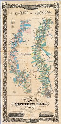
Mahon, Charles.
Map of the alluvial region of the Mississippi Prepared to accompany the report
of Capt. A. A. Humphreys and Lieut H. L. Abbot, Corps. of Top’l. Engrs.,
U.S.A. to the Bureau of Topl. Engrs., War Dept. Drawn by Chs. Mahon.
[S.l., 1861]
|

cw0259400
|
Lindenkohl, A.
Northern Mississippi and Alabama Compiled and engraved at the U.S. Coast
Survey Office, from state maps, post office maps, local surveys, etc., with
additions from campaign maps and information furnished by Capt. O. M. Poe,
Chief Engineer, Military Division of the Mississippi and by Capt. W. E. Merrill,
Chief Engineer, Department of the Cumberland. Drawn by A. Lindenkohl.
[S.l., H. Lindenkohl & Chas. G. Krebs, lith.], 1864.
|

cw0259500
|
Lindenkohl, A.
[Northern Mississippi and Alabama] Drawn by A. Lindenkohl. H. Lindenkohl
& Chas. G. Krebs, lith.
[S.l.], U.S. Coast Survey, A. D. Bache, Supdt., 1865.
|

cw0260000
|
United States Coast Survey.
Southern Mississippi and Alabama : showing the approaches to Mobile / Coast
Survey Office, A.D. Bache, supt.
[Washington, D.C.] : The Office, 1863.
|

cw0261000
|
Wilson, Js. H.
Map of the country between Millikens Bend, La. and Jackson, Miss. shewing
the routes followed by the Army of the Tennessee under the command of Maj.
Genl. U.S. Grant, U.S. Vols. in its march from Millikens Bend to the rear
of Vicksburg in April and May 1863.
N.Y., Julius Bien & Co., photo lith., 1876
|

cw0271500
|
United States. Navy.
Sketch of rebel fortifications at Hayne’s Bluff.
[S.l., 1863]
|

cw0275000
|
Badeau, Adam, 1831-1895.
Map of the siege of Vicksburg. [1864].
[S.l., 1885]
|

cw0282500
|
Poole Brothers.
The Vicksburg National Military Park and vicinity showing lines of siege
and defense of the city. National cemetery in background.
Chicago, Poole Bros., c1925.
|

cw0287000
|
United States Coast Survey.
Map illustrating the operations of the U.S. forces against Vicksburg.
[S.l.], J. W. Maedel, [1863]
|

cw0290500
|
Geological Survey (U.S.)
Vicksburg National Military Park, Miss. Albert Pike, Division Engineer.
Topography by Frank Larner, H. G. Warner, and J. G. Harrison. Control by
U.S. Geological Survey. Surveyed in 1935.
[Washington, U.S. Geological Survey, 1935]
|

ra000006
|
Pittman, Philip, captain.
Plan of Fort Rosalia.
London, Printed for J. Nourse, 1770.
|

rr002430
|
Rand McNally and Company.
Railroad commissioner’s map of Mississippi.
Chicago, 1888.
|

vhs00141
|
The Enemy's fortifications around Vicksburg.
Shows the terrain and Confederate fortifications around Vicksburg, Miss.,
in mid-May, 1863, just after Confederate Gen. Pemberton was forced to evacuate
Hayne's Bluff. Indicated are the locations of Union forces under Sherman,
McPherson, McClernand, and Carr.
Sneden, Robert Knox
1863-65 |

0027010
|

0028049
|

0041013
|

0073016
|

0102029
|

0104009
|

6814000
|

0151044
|

0152043
|

0182002
|

0278009
|

0280009
|

0315008
|

0352032
|

0358037
|

0425067
|

0535030
|

0545027
|

0565019
|

0572028
|

0579029
|

0586027
|

0592029
|

0594028
|

0890140
|

1071007
|

1071008
|

1550039
|

1603218
|

1690090
|

1780013
|

1780014
|

1780023
|

1780024
|

1780025
|

1780027
|

1780031
|

1780032
|

1780035
|

1780036
|

1780159
|

1954081
|

2054033
|

2094044
|

2134075
|

2212261
|

2239029
|

2307021
|

2329007
|

2436054
|

2470042
|

2470043
|

2483025
|

2501015
|

2547002
|

2589035
|

2593032
|

2603037
|

2680031
|

2710034
|

2721028
|

2743006
|

2752000
|

2755016
|

2780001
|

2782013
|

2788012
|

2809046
|

2844037
|

2866054
|

2905020
|

2915005
|

2991003
|

3471010
|

3471014
|

3803027
|

3825017
|

3858000
|

3870001
|

3884009
|

3888029
|

4323012
|

4324021
|

4328025
|

4472001
|

6727025
|

4534029
|

4557023
|

4574027
|

4577023
|

4578024
|

4587043
|

4662013
|

6921125
|

4723009
|

4727038
|

4825042
|

4835032
|

4864009
|

4864028
|

4866051
|

4869008
|

4884033
|

4966014
|

4977028
|

5022030
|

5028055
|

5028063
|

5028064
|

5041029
|

5198021
|

5363024
|

5370008
|

5371126
|

5388022
|

5479069
|

5745051
|

5755014
|

5784028
|

5797106
|

5802002
|

5956033
|

6323015
|

6323019
|

6323022
|

6323023
|

6323024
|

6323025
|

6323031
|

6323032
|
|
|
|
Features of this DVD
This auction is for a DVD of the maps listed
in electronic form,
NOT
the maps
themselves.
These maps are VERY high resolution and
can be printed at FULL SCALE or LARGER for framing and display. The results
are very high quality and convincing. |
|
Ad and disk copyright 2013
Euriskodata
All Rights Reserved |
The free listing tool. List your items fast and easy and manage your active items.
|