Maps of
Delaware

0041008
|
Delaware., Maryland., Vifrinia., West. Virginia., D.C.
Hand col. engraved map. Relief shown by hachures. Shows distances along
railroads, etc. Prime meridians: Greenwich and Washington.
Asher & Adams
1874 |

0089022
|
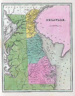
Delaware.
Bradford, Thomas G.
1838 |

0122014
|
Map Of Delaware.
Carey, H. C. ; Lea, I.
1822 |

0285016
|
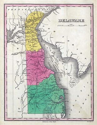
Delaware.
Finley, Anthony
1831 |

0594022
|
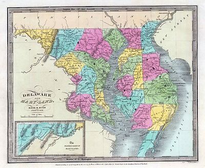
Delaware ; Maryland ; Virginia ; West Virginia
Shows settlements, railroads, rivers, etc. Includes 2 insets
Mitchell, Samuel Augustus
1890 |

2329006
|
Canal du Cap-Cod.Engraved map with 6 insets. Soundings in English fathoms.
Numbered Fig. 1-7.
Poussin, Guillaume Tell
1834 |

2467050
|
From Phila. to Annapolis Maryld. A Survey of the Roads of the United
States of America by Christopher Colles.
Colles, Christopher
1789 |

2467051
|
From Philadelphia to Annapolis Maryland. A Survey of the Roads of the
United States of America by Christopher Colles.
Colles, Christopher
1789 |

2501011
|
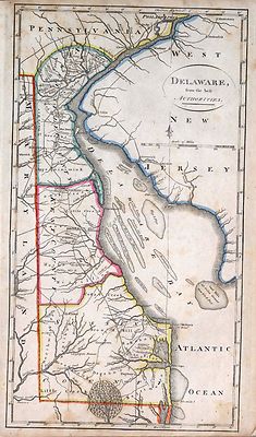
Delaware
Henshaw, Frances H.
1828 |

2542011
|
Delaware.
Carey, Mathew
1795 |

2646007
|
Road from Philadelphia to Washington. (Maps) 5, 6, 7 and 8.
Four uncolored maps spanning two pages. Area from Wilmington to Elk Town
shown.
Moore, S.S. ; Jones, T.W.
1802 |

2862034
|
Delaware.
Carey, Mathew
1796 |

2905016
|
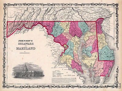
Delaware And Maryland.
Johnson, A.J.
1860 |

4453024
|
Delaware.
Goodrich, S.G. ; Bradford, Thomas G.
1841 |

4577015
|
Delaware
Carey, Mathew
1814 |

4584055
|
Delaware.
Lucas, Fielding Jr.
1823 |

4628041
|
Delaware And Mary-land.
Burr, David H
1835 |

4850041
|
Delaware And Mary-land.
Greenleaf, Jeremiah
1840 |

4863034
|
Delaware.
Carey, Mathew
1811 |

4865011
|
Delaware.
Carey, Mathew
1796 |

4966010
|
Delaware ; Maryland ; Virginia ; West Virginia
Hinton, John Howard; Hinton, Isaac Taylor
1831 |

5436000
|
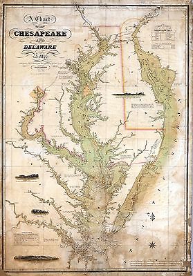
A Chart of the Chesapeake And Delaware Bays.
Tide tables for both bays, soundings and red dots for lighthouses are noted.
Lucas, Fielding Jr.
1840 |

ar071400
|
Robert Sayer and John Bennett (Firm)
A general map of the middle British colonies, in America. Containing Virginia,
Maryland, the Delaware counties, Pennsylvania and New Jersey. With the addition
of New York, and the greatest part of New England, as also of the bordering
parts of the province of Quebec, improved from several surveys made after
the late war, and corrected from Governor Pownall’s late map 1776.
1776 |

ar071402
|
Robert Sayer and John Bennett (Firm)
A general map of the middle British colonies, in America. Containing Virginia,
Maryland, the Delaware counties, Pennsylvania, and New Jersey. With the addition
of New York, and of the greatest part of New England, as also of the bordering
parts of the province of Quebec, improved from several surveys made after
the late war, and corrected from Governor Pownall’s late map 1776.
1776 |

ar103500
|
Evans, Lewis
A map of Pensilvania, New-Jersey, New-York, and the three Delaware counties.
L. Hebert, sculpt.
1749 |

ar103601
|
Evans, Lewis, 1700?-1756.
A map of Pensilvania, New-Jersey, New-York, and the three Delaware counties.
L. Hebert, sculpt.
2d ed. July 1752.
1752 |

ar103700
|
Evans, Lewis, 1700?-1756.
Speciel Land Charte von Pensilvanien, Neu Jersey, Neu York, und von denen
drey Land-schafften an dem Delaware Fl. In America in Englischer Spr. gedruckt
A. 1749.
1750 |

ar104400
|
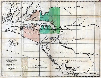
Map of the country between and bordering the Delaware River and Chesapeake
Bay, showing roads to Philadelphia and localities.
1776? |

ar136600
|
Hunter, John, 1738-1821.
Plan of part of the River Delaware from Chester to Philadelphia, in which
is mark’d the position of His Majs. ships on the 15th. of November 1777.
The obstructions to the navigation of the river, laid down by the rebels,
are also mark’d.
1778
|

ar137601
|
Churchman, John
This map of the peninsula between Delaware & Chesopeak Bays, with the
said bays and shores adjacent drawn from the most accurate surveys.
1778? |

ct000062
|
Evans, Lewis
A map of Pensilvania, New-Jersey, New-York, and the three Delaware counties.
L. Hebert, sculpt.
1749 |

ct000307
|
Griffith, Dennis.
Map of the State of Maryland laid down from an actual survey of all the principal
waters, public roads, and divisions of the counties therein; describing the
situation of the cities, towns, villages, houses of worship and other public
buildings, furnaces, forges, mills, and other remarkable places; and of the
Federal Territory; as also a sketch of the State of Delaware shewing the
probable connexion of the Chesapeake and Delaware Bays. June 20th, 1794.
Engraved by J. Thackara & J. Vallance.
1795
|

ct000340
|
Campo, Josef del.
Plano de la Bahia de la Ware y entrada de Filadelfie ...
178-? |

ct001036
|
Senex, John,
[Maps of the Maryland-Pennsylvania boundary used as trial exhibits in the
1735 court suit brought by the Penns against Lord Baltimore to determine
the official interprovincial boundary line].
1738? |

ct001037
|
Senex, John, d. 1740.
[Maps of the Maryland-Pennsylvania boundary used as trial exhibits in the
1735 court suit brought by the Penns against Lord Baltimore to determine
the official interprovincial boundary line].
1738? |

ct001069
|
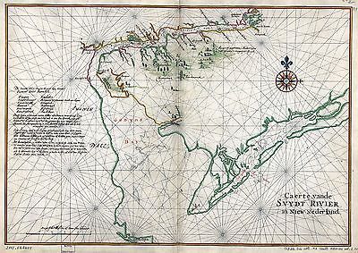
Vinckeboons, Joan.
Caert vande Svydt Rivier in Niew Nederland.
1639? |

ct001187
|
Colton, Joseph Hutchins
Colton’s new topographical map of the states of Virginia, Maryland &
Delaware : showing also eastern Tennessee & parts of all the fortifications,
military stations, railroads, common roads, and other internal improvements
/ J.H. Colton.
1862
|

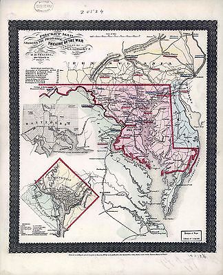
cw0001000
|
Aschbach, G. A.
Pocket map showing the probable theatre of the war Compiled by G. A. Aschbach,
C.E. Allentown, Pa.
1861
|

cw0003000
|
Bachmann, John.
Panorama of the seat of war. Birds eye view of Virginia, Maryland, Delaware,
and the District of Columbia Drawn from nature and lith. by John Bachmann.
c1861
|

cw0013800
|
Higginson, J. H., publisher.
A new military map of the seat of war by J.H. Higginson.
New York [1861?]
|

cw0017350
|
Schedler, J.
Birds eye view of Virginia, Maryland, Delaware and the District of Columbia.
[Drawn and engr. By J. Schedler, N.Y. Sarony, Major & Knapp liths., N.Y.
c1861
|

cw0449800
|
Higginson, J. H.
A new bird’s eye view of the seat of war.
c1861
|

cw0493600
|
Nicholson, W. L.
Map of the State of Virginia compiled from the best authorities, and printed
at the Coast Survey Office. A. D. Bache, Supdt. May 1864. Compiled by W.
L. Nicholson.
1864
|

cw0509200
|
Nicholson, W. L.
Map of the State of Virginia compiled from the best authorities, and printed
at the Coast Survey Office. A. D. Bache, Supdt. 1865. Compiled by W. L.
Nicholson. Lith. by Chas. G. Krebs.
1865 |

lva00024
|
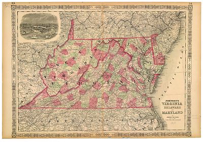
Johnson's Pennsylvania, Virginia, Delaware, and Maryland
Johnson & Browning
ca. 1862 |

lva00026
|
Johnson's Virginia, Delaware, Maryland & West Virginia.
Johnson & Browning
ca. 1864 |

lva00027
|
Johnson's Pennsylvania, Virginia, Delaware, and Maryland
Johnson & Browning
ca. 1862 |

lva00031
|
Birds eye view of Virginia, Maryland, Delaware, and the District of Columbia
: the seat of war.
J. Schedler.
c1861 |

lva00041
|
Colton's new topographical map of the states of Virginia, Maryland and
Delaware, showing also eastern Tennessee & parts of other adjoining states,
all the fortifications, military stations, rail roads, common roads and other
internal improvements / compiled from the latest & most authentic sources,
on a scale of 12 miles to the inch.
1864 |

lva00077
|
Johnson's Pennsylvania, Virginia, Delaware, and Maryland
Johnson & Browning
ca. 1862 |

lva00096
|
Johnson's Virginia, Delaware, Maryland & West Virginia.
1864 |

lva00099
|
Map of the state of Virginia / compiled from the best authorities at
the Coast Survey Office,
A. D. Bache, supdt. ; compiled by W.L. Nicholson.
1863 |

lva00119
|
Johnson's Virginia, Delaware and Maryland.
1864 |

pm001060
|
H.H. Bailey & Co.
Wilmington, Del. 1874. H.H. Bailey & Co. artists.
c1874
|

rr000680
|
Lucas, Fielding, 1781-1854.
The tourist’s guide through the states of Maryland, Delaware and part
of Pennysylvania & Virginia with the routes to their springs &c.
/ engraved by J. Yeager, Philadelphia.
1836 |

rr000700
|
Burr, David H., 1803-1875.
Map of Virginia, Maryland and Delaware exhibiting the post offices, post
roads, canals, rail roads &c. by David H. Burr, (late topographer to
the Post Office,), geographer to the House of Representatives of the U.S.
1839
|

rr000750
|
Doggett, John
Railroads in New Jersey, Pennysylvania, Delaware and Maryland; drawn and
engraved for Doggett’s Railroad Guide & Gazetteer.
c1848 |

rr000850
|
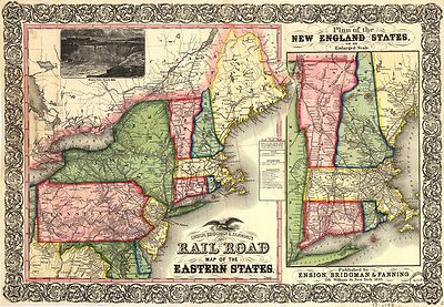
Ensign, Bridgman & Fanning.
Ensign, Bridgman & Fanning’s rail road map of the Eastern States.
1856 |

rr001920
|
Matthews-Northrup Company.
Delaware, prepared especially for the Mercantile Guide and Bureau Co. Publishers
of Railway, express and postal shipping guides.
1899 |

rr002300
|
Gray, Frank Arnold.
New railroad map of the state of Maryland, Delaware, and the District of
Columbia. Compiled and drawn by Frank Arnold Gray.
1876 |

rr003970
|
G.W. & C.B. Colton & Co.
Map showing the Delaware and North River Railroad and its connections between
Kingston, Port Jarvis and Stroudsburg.
c1890
|

0027009
|

0028040
|
0041008
|

0043001
|

0073010
|

0102019
|

0104005
|

0149028
|

0151035
|

0152035
|

0209002
|

0278006
|

0280006
|

0352024
|

0352027
|

0358030
|

0358031
|

0425053
|

0462008
|

0495002
|

0535023
|

0537016
|

0545019
|

0565012
|

0572021
|

0579021
|

0586019
|

0592023
|

0632016
|

0845013
|

0887003
|

0977013
|

1550033
|

1690064
|

1701002
|

1780140
|

1954072
|

2054025
|

2134060
|

2212256
|

2230002
|

2239006
|

2301017
|

2307018
|

2329003
|

2436045
|

2467049
|

2470022
|

2470023
|

2470024
|

2470026
|

2483017
|

2559005
|

2589030
|

2593027
|

2646006
|

2680019
|

2721020
|

2743004
|

2755011
|

2782008
|

2788006
|

2809017
|

2817000
|

2902012
|

2915001
|

2931035
|

3055002
|

3296002
|

3540006
|

3565083
|

3733060
|

3803019
|

3884006
|

3888022
|

3940002
|

4228002
|

4323006
|

4324014
|

4328017
|

4520019
|

4557015
|

4574020
|

4574021
|

4578016
|

4622001
|

4727018
|

4825033
|

4835022
|

4862017
|

4864020
|

4866042
|

4869006
|

4884031
|

4960002
|

4960003
|

4966013
|

4977018
|

5007010
|

5022025
|

5028041
|

5028043
|

5028045
|

5041016
|

5164003
|

5198013
|

5363016
|

5370001
|

5388017
|

5479048
|

5745044
|

5755009
|

5784022
|

5956023
|

6727017
|
|
|
|